


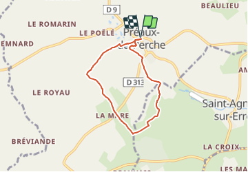

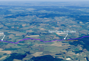
11.3 km | 13.2 km-effort

User


FREE GPS app for hiking
 SityTrail
IGN / Geographical institutes
SityTrail World
The world is yours!
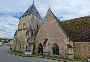
Trail Walking of 5.4 km to be discovered at Normandy, Orne, Perche en Nocé. This trail is proposed by ODDAD78.
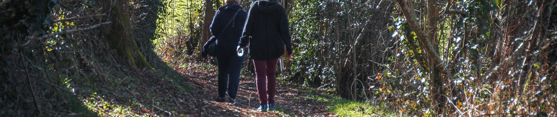
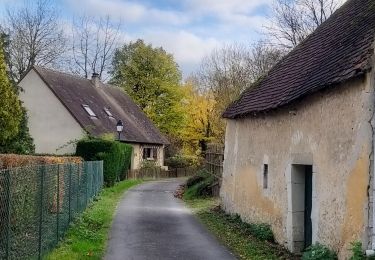
Descendre la place, prendre à droite la ruelle direction Le Parc Nature.
Traverser le parc, suivre le fléchage et rejoindre la D 313. Au « Petit Jeu », au carrefour, quitter la départementale ; emprunter à gauche la VC 2 qui conduit au Mont Cendrou. Laisser à droite la Heudière et poursuivre jusqu'à Bétigny Gaulard.
Tourner à droite ; gagner la Vallée. Face à la maison d'habitation, prendre à gauche un chemin de terre. (vue panoramique en montant à La Renaudière).
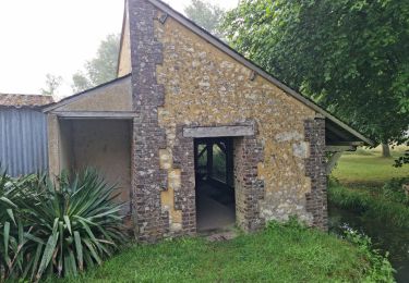
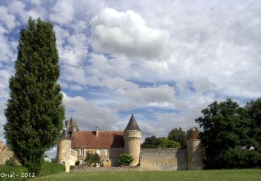
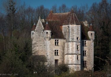
Après la Renaudière, tourner à droite ; traverser la D 313. Continuer le chemin en herbe bordant prairies et cultures (point de vue sur le manoir de la Lubinière).
Prendre à droite un chemin creux qui descend et débouche à la Basse Passière. Dans le virage en coude, autre point de vue sur la Lubinière.
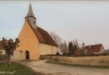
Au lavoir, retour au bourg par le Parc Nature.


Walking
Walking
Walking
Walking
Walking
Walking
Walking
Walking
Walking